Newsroom
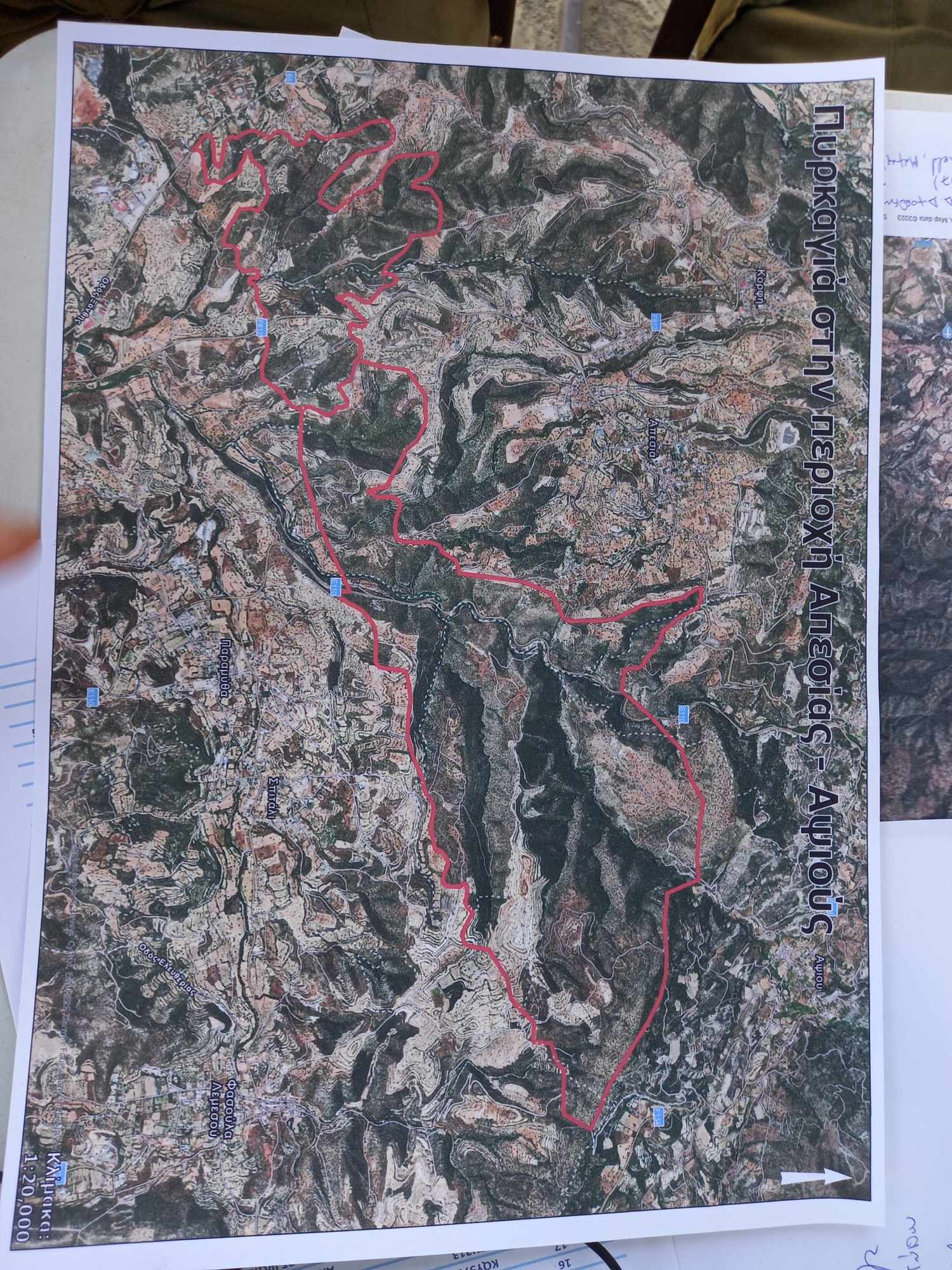
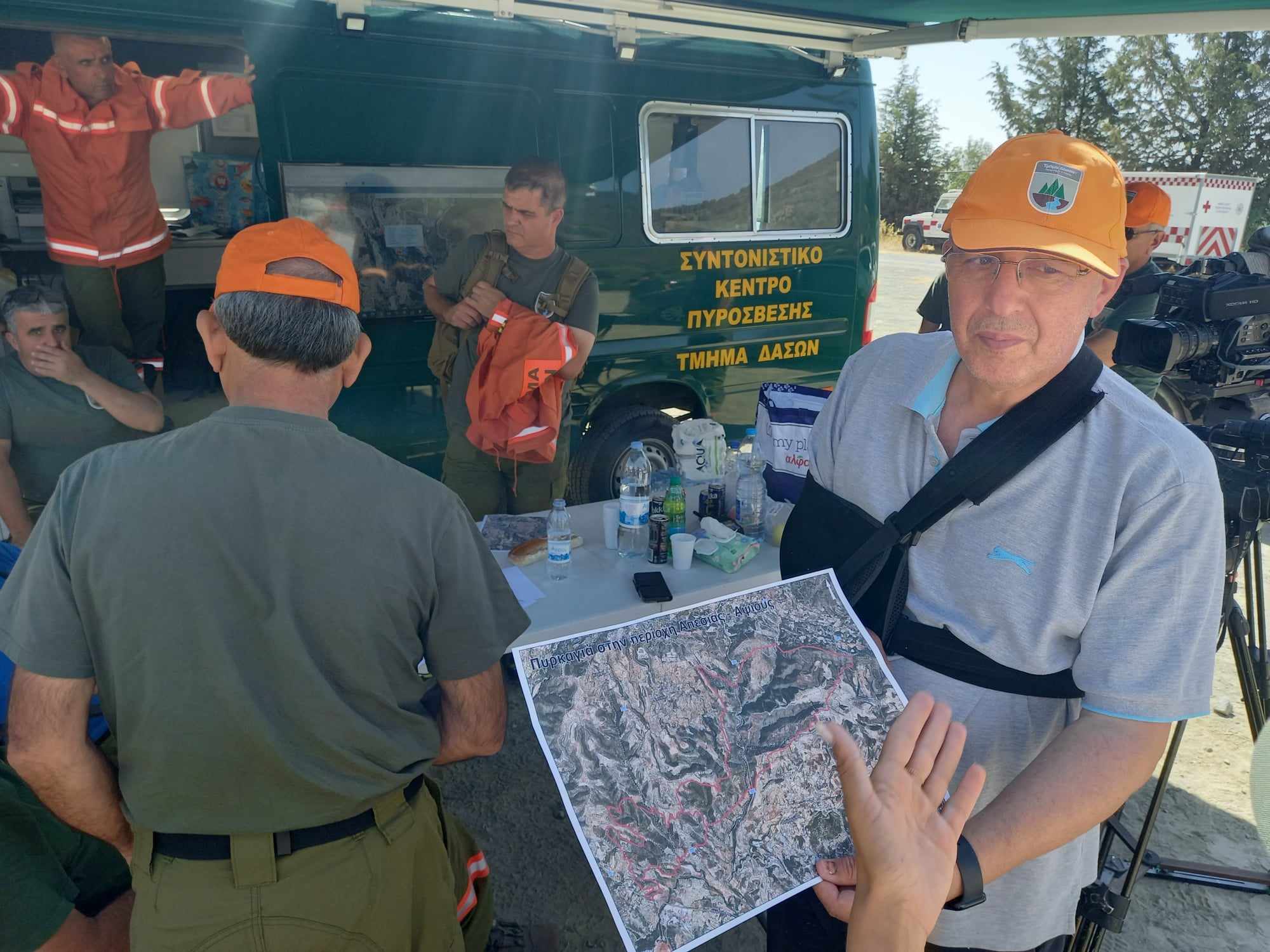
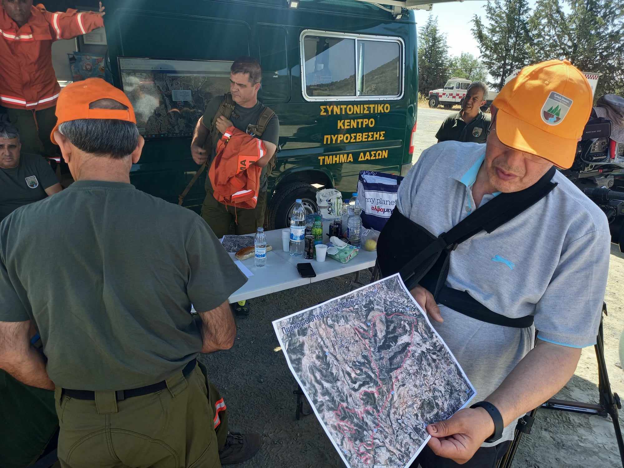
Aerial photographs revealing the extent of the large fire that resurged on Sunday afternoon (06/08) have been obtained by "K". The maps, provided by the Forestry Department, show the fire's progression from the west (Alassa) to the east.
In response to concerns, the Minister of Justice took to platform X (Twitter) to reassure the public, stating that "the fire area is under control, with no fire outbreaks. All forces of the Republic of Cyprus are on standby." She emphasized that the operational plan, utilizing aviation assets from Cyprus and abroad, is constantly being adjusted based on prevailing conditions. However, she also cautioned that "strong winds are expected in the afternoon," adding further challenges to the firefighting efforts.